
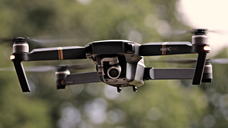
A drone survey is an aerial survey conducted using unmanned aerial vehicles (UAVs), more commonly known as drones. Drone surveys allow for the collection of high-quality data and images from a variety of angles and perspectives, making them an ideal solution for surveying large areas of land or for accessing difficult-to-reach locations.
Benefits of Drone Surveys
There are many benefits to using drones for surveying purposes, including:
1. Increased Safety - Because drones are unmanned, there is no risk to human life when conducting a drone survey. This is especially beneficial when surveying dangerous or hard-to-reach areas.
2. Cost Efficiency - Drones are much less expensive to operate than traditional aircraft, making them a cost-effective option for surveying projects.
3. Flexibility - Drones can be deployed quickly and easily, which allows for greater flexibility in surveying projects.
4. Accuracy - Drones collect data with a high degree of accuracy and precision.
Types of Drone Surveys
There are two main types of drone surveys: photogrammetry and lidar surveys.
Photogrammetry Surveys - Photogrammetry is the process of measuring objects and features on the earth's surface using photographs. This type of survey uses images taken by the drone's onboard camera to create 2D or 3D models of the surveyed area.
Lidar Surveys - Lidar (light detection and ranging) is a remote sensing technology that uses laser pulses to measure distance. This type of survey uses a laser scanner mounted on the drone to collect data about the topography of the surveyed area.
Other common drone survey types are:
Structure Scanning Surveys - Structures scanning surveys are used to capture the geometry and dimensions of man-made structures such as buildings, bridges, and towers. This type of survey is particularly useful for assessing the condition of a structure and identifying any potential damage.
Pipeline Inspection Surveys - Pipeline inspection surveys are used to inspect the condition of pipelines and other underground infrastructure. This type of survey can help identify leaks, corrosion, and other damage that could potentially lead to pipeline failure.
Agricultural Surveys - Agricultural surveys are used to collect data about crops and farmland. This information can be used to assess the health of crops, plan crop rotation strategies, and track yield patterns over time.
Environmental Studies - Environmental studies use drones to collect data about land features, vegetation cover, and water resources in order to better understand how these ecosystems function
3D Modeling - 3D modeling is a process of creating a three-dimensional representation of an object or area using digital images or laser scans
Drone surveys are an increasingly popular solution for collecting accurate data and images from hard-to-reach or large areas of land. There are two main types of drone surveys—photogrammetry and lidar—and each has its own advantages and disadvantages. When choosing a drone survey solution, it is important to consider the specific needs of your project in order to select the best option.
Skykam is the UK's leading drone survey provider, with over 10 years of experience in the field. We offer a range of aerial survey services, including photogrammetry surveys, lidar surveys, and structure scanning surveys. Our drones are equipped with high-quality cameras and sensors that allow us to collect data with accuracy and precision. We have a team of experienced professionals who are dedicated to providing our clients with quality service and results.
If you're looking for a reliable and cost-effective drone survey service, Skykam is the perfect choice.